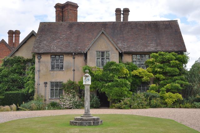
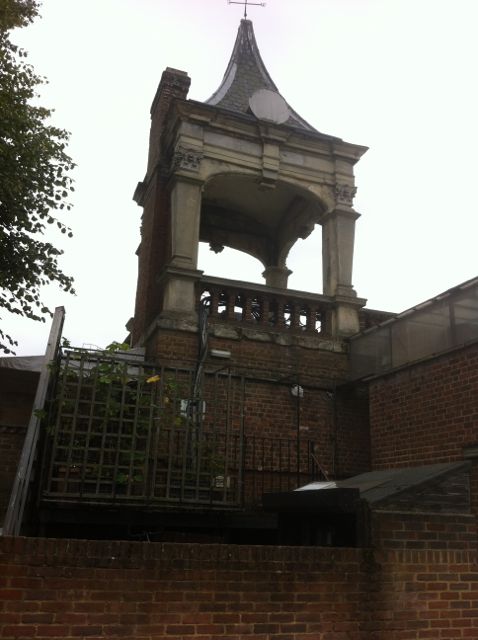
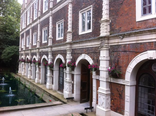
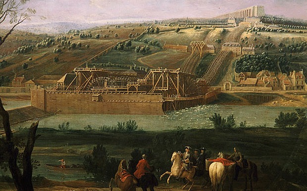
Packwood House from the west with
17th. century
sundial.
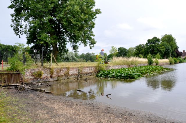
The west end of the dam looking north east - ripe for rebuilding
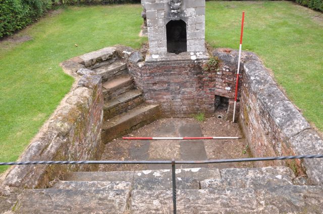
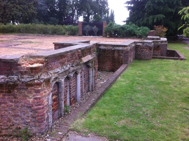
Plunge pool thought to date from the 1680s, view looking west.
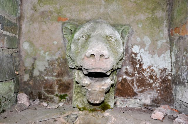
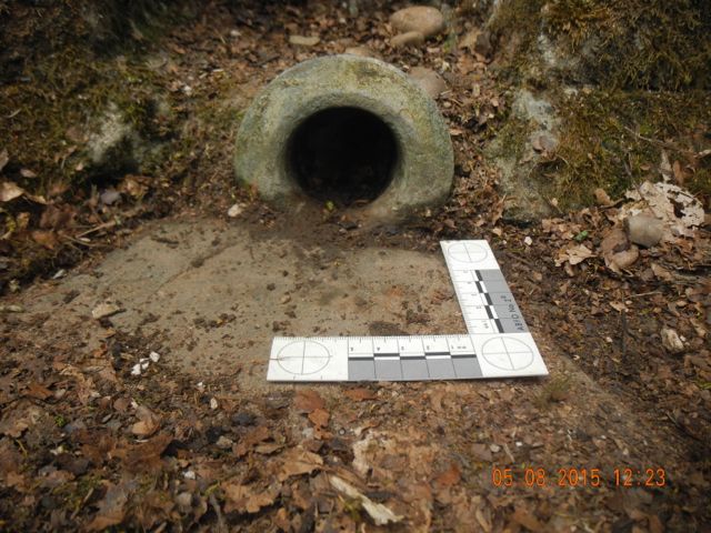
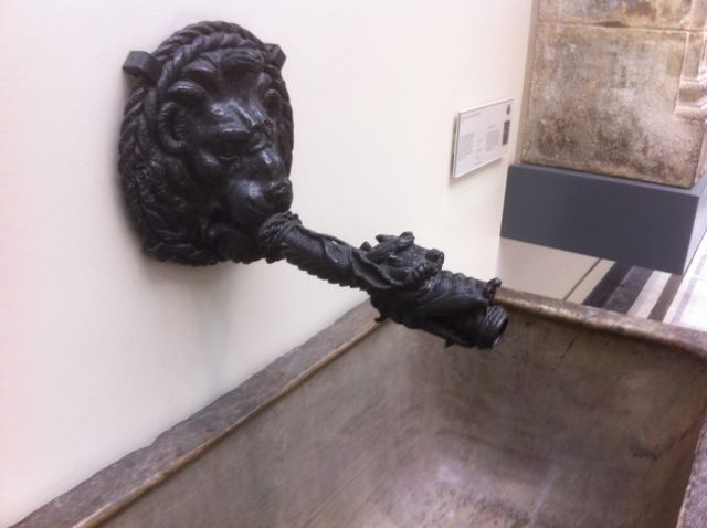
Details: the lion's head mask providing water in the niche above the
pool and a large diameter copper alloy pipe for draining it.
The plunge bath at Packwood lies to
the north of the house and is of particular interest as one is forced
into making a comparison with Sir Anthony's Bath on the island at
Hanwell.
There are superficial similarities, both are sunken stone lined
rectangular tanks with something looking like steps dropping down to
the water from one end but there the resemblance ends. At Hanwell we
have no traces of methods for delivering or removing water, unless it
was allowed to fluctuate with the natural level of the lake, nor does
it make sense from the point of view of size for an effective cold
water bathing place. At best it could only have been a very pale echo
of grander facilities.
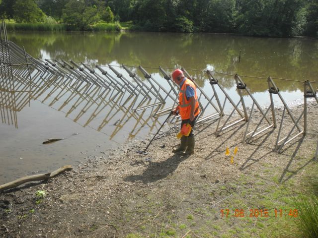
The framework for the dam is erected whilst Peter makes a metal
detector search of the
foreshore.
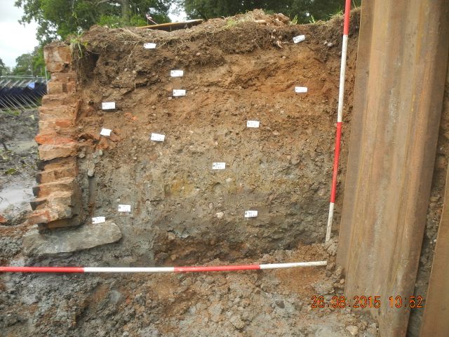
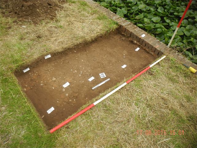
We open a small trench behind the wall to examine the dam's make up.
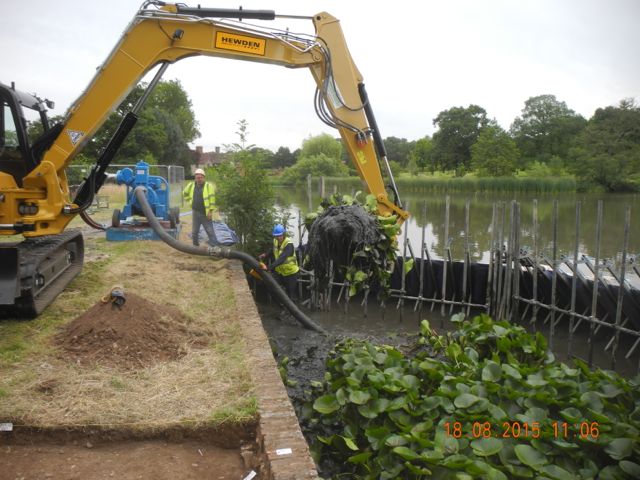
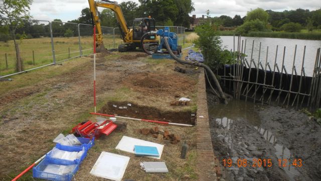
Now we really get down to business as the silt plus water lilies is removed and we take our trench down to around half a metre
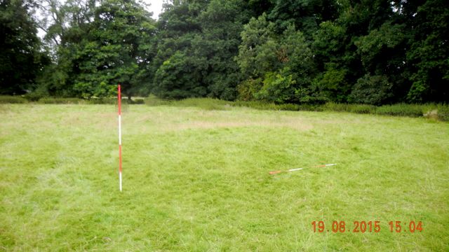
Not a very good photo but time was spent exploring the surrounding
landscape. This low mound marks the site of a cistern marked on the
1722 estate map.
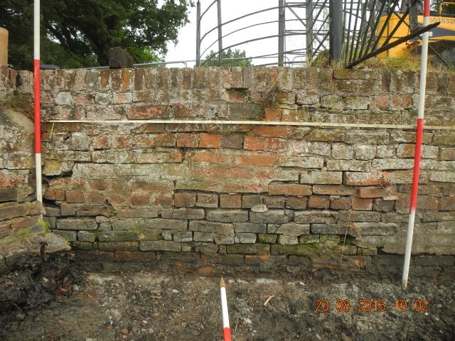
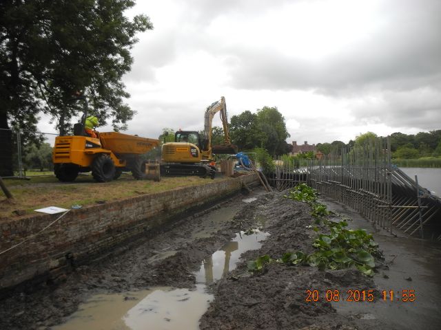
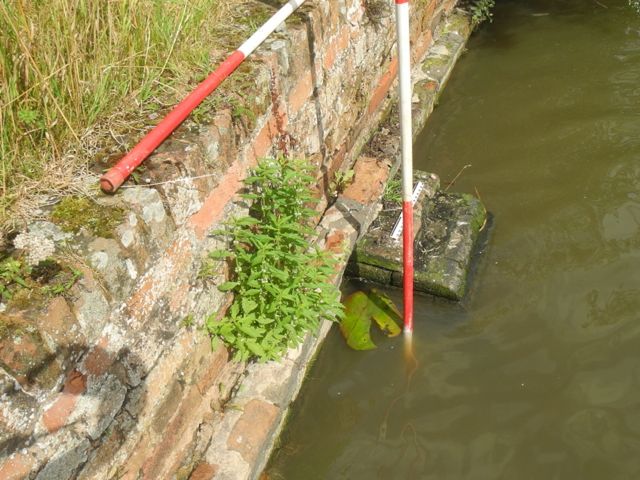
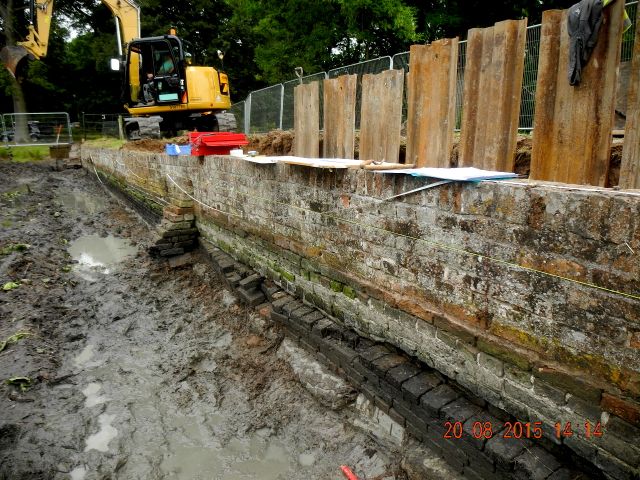
With 25 metres of wall to survey it was agreed to do this
photographically. the pictures will be stitched together and then
stretched using QGIS to conform to a measured grid.
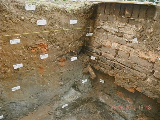
As the material of the dam comes out from behind the wall the
recording of assorted buttresses and other features is completed and
here is a partial section through the dam behind the wall.
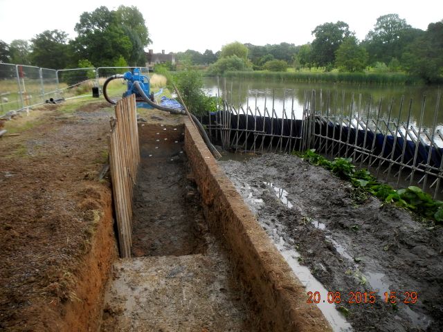
The situation at the end of day three, view looking east along the dam towards the house.
As is often the case careful plans
on the basis of great expectations
produced rather disappointing results. Careful examination of the silts
both visually and with a metal detector resulted in the discovery of
three iron fence posts and two empty bottles: one of Johnny Walker
Whiskey and the other of Canadian Dry Ginger. I have heard stories...
On top of the dam we did find evidence for possible earlier pathways
and the sequence of construction was reasonably clear although no
dating material emerged. The biggest surprise was the fact that the dam
wall had clearly been rebuilt on more than one occasion, in one
instance partially on a different alignment so the upper courses were
set back by a brick's width.
Having been called away to Farnborough I gave the contractors a quick
run down on post-medieval pottery and gave them a finds tray to hang
onto just in case. We
were back the following week to discover that the plan had been to
complete the first section the reconstruction before moving on so that
enabled us to record an additional intermediate section but we'll have
to go back for more. We were also able to complete a more general
survey of the dam and its associated mechanisms.
Of course the park at Farnborough
was already well known to us ( see Farnborough Park Project ). However,
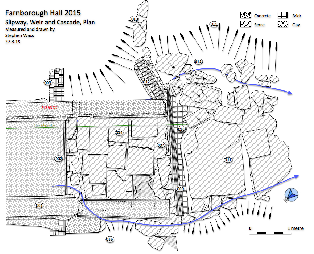
the spillway / weir / cascade
that connected Sourland Pool with the Oval Pool had escaped detailed
examination at the time as it had been largely obscured by fallen
trees. These were cleared last year and when I turned up at the
invitation of the Trust it was time for a more careful look. The
problem was that previous visitors to the site had had similar
difficulties and I believe had in effect examined the site from the
bridge from which angle one sees little more than a concrete channel.
My first task was to complete the clearance process, initially on the
sloping slabs of the 'water slide' but later at the foot of the cascade
where we removed nearly a metre of debris. I
t became clear that this was a much more sophisticated
structure than had hitherto been thought and that it has substantially
complete despite being quite badly damaged by a decade or more of
erosion by leaking water.
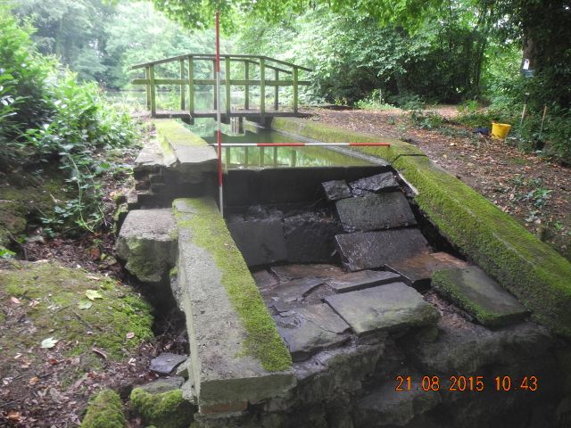
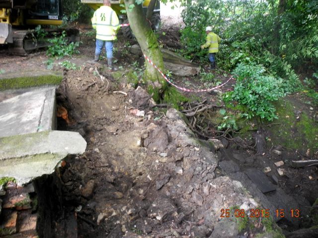
The ramp is cleared and proves to be substantially intact. view looking north east towards Sourland Pool.
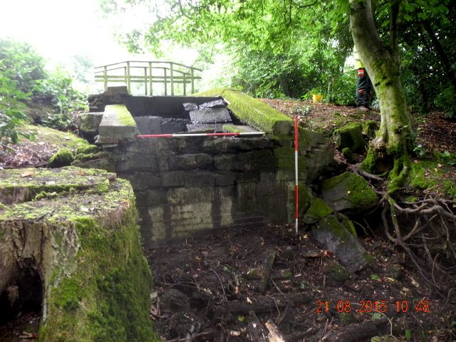
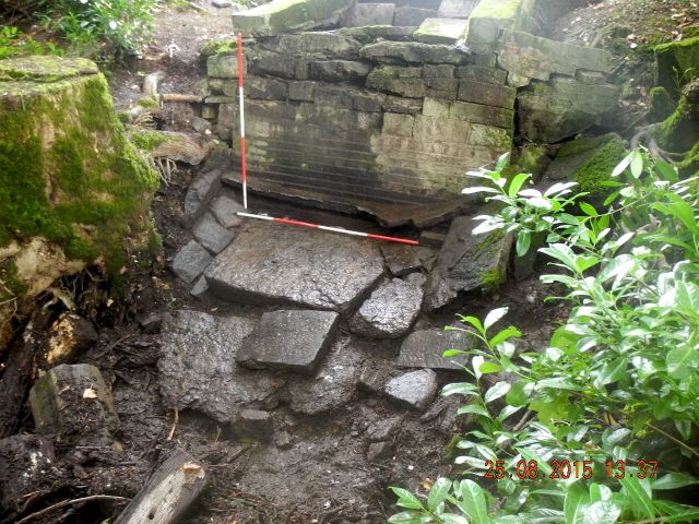
This
conveys some idea of the amount of debris shifted, before and after,
the after revealing some massive stone work designed to curtail erosion
at the foot of the cascade.
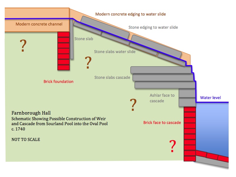
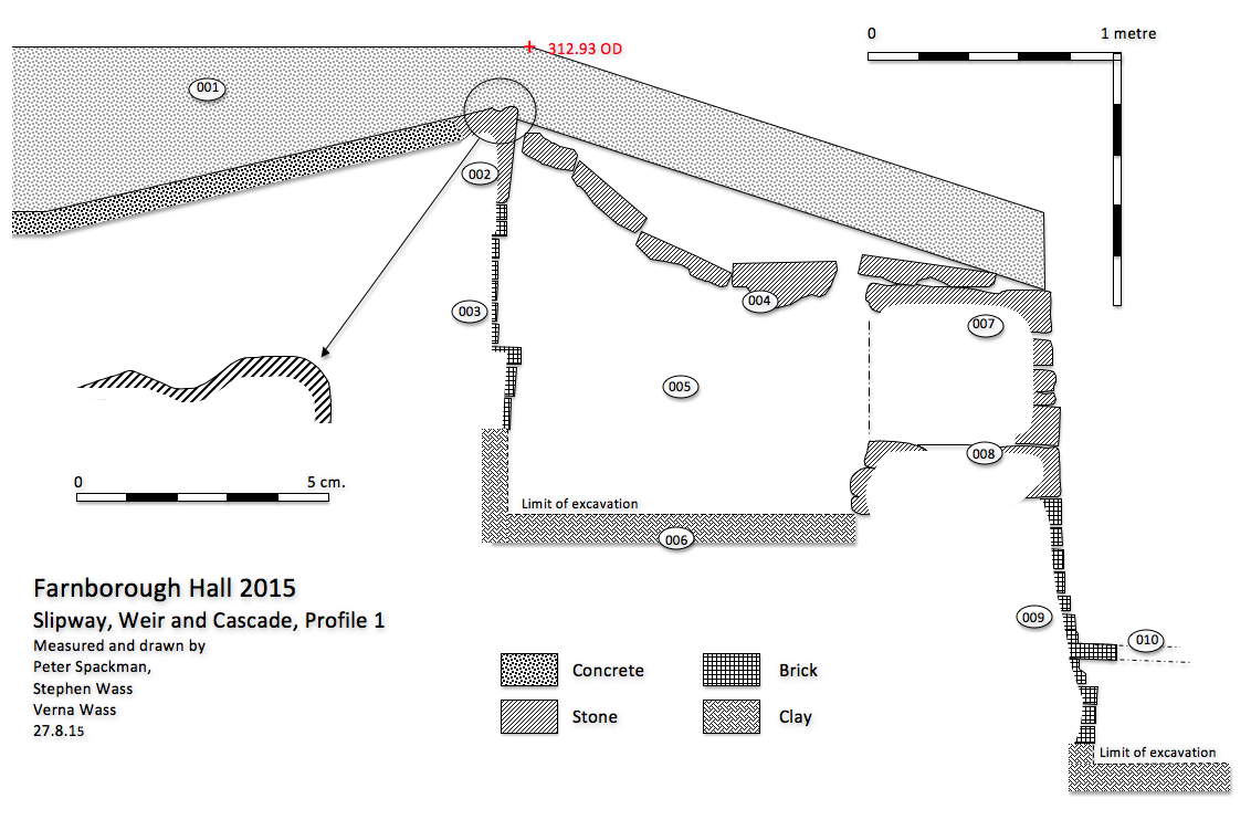
This schematic longitudinal section was put together to illustrate for the WSI the complexity of the monument.
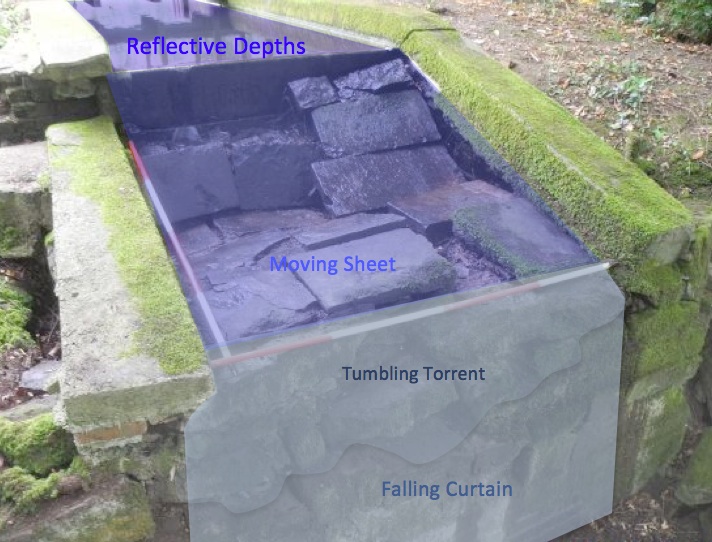
After further thought and comparing it with the way in which the
cascade on the other side of the road had been engineered it struck me
that water was being played with here
in quite a varied and subtle way with the possibility of achieving four different effects from one moving body of water
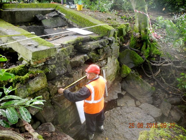
Peter lends a hand with drawing the elevation.
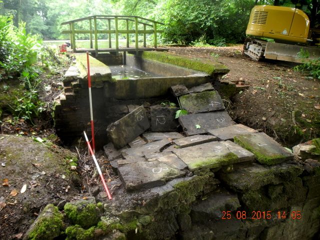
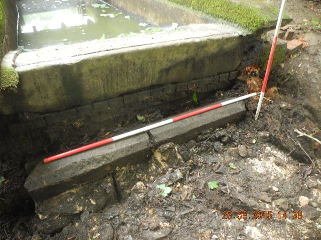
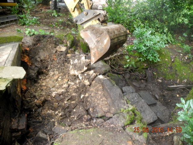
The dismantling begins. First of all the the side slabs of concrete are
lifted up and the numbered slabs removed and set aside. Included in the
make up below the slabs was this length of reused coping stone
