Preliminary Survey
Return to Project
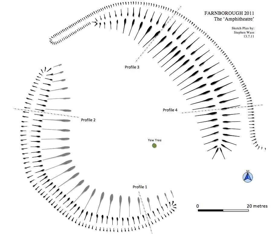
Although some parts of Stanborough Wood are quite open much of the upper bank and northern portion of the lower ditch are choked with vegetation, especially elder. The methods used to produce this sketch plan involved pacing along the bottom of the ditch then the top of the bank stopping at relevant points to record a compass bearing. Although the general outline is broadly correct the actual lay out could be more or less regular than shown here. There are several interesting trees scattered throughout the wood but perhaps the most significant is the solitary yew, shown on the plan above, which appears to be the only example within the earthwork and is almost certainly a mid-eighteenth century planting. The layout as shown on the 1772 estate map could be interpreted as planting on the 'natural' slope above the lower ditch which bounds it thus creating the crescent shape, whilst planting on the upper bank and on the level ground between the cusps of the bank would create a near semicircle in plan. The estate map also shows a faint line curving up from the southern end of Sourland Pond. At this point on the ground today there is a narrow pathway deeply recessed in its own small scale holloway. If the line does therefore represent a path it continues north until it curves round the ditch on the outside of the upper bank before turning and running westwards down the slope to edge of Sourland Pond once again. This may explain the anomalous length of ditch which seems to project beyond the northern cusp of the upper bank. It is also significant that the 'amphitheatre' lines up with the northern terrace walk with its prospect mounds to the east.
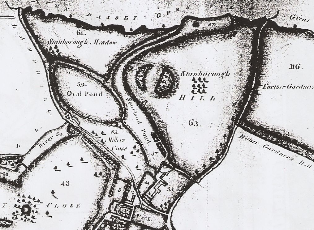
Stanborough Hill from the 1772 estate map
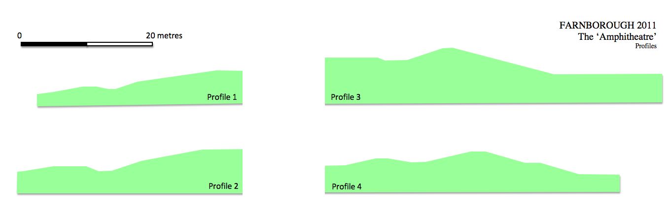
The
sections were drawn by estimating heights with reference to a 2 metre
ranging rod then using the pole as a measure to record the length of
the slope on the ground. This information was then used to produce
scale drawings of the profiles above. The outer ditch of the upper bank
was particularly badly overgrown and dimensions here are a little
speculative. There was some evidence of terracing on the downward
facing slope of the upper bank (see profile 4) but this will need more
investigation once access becomes easier.
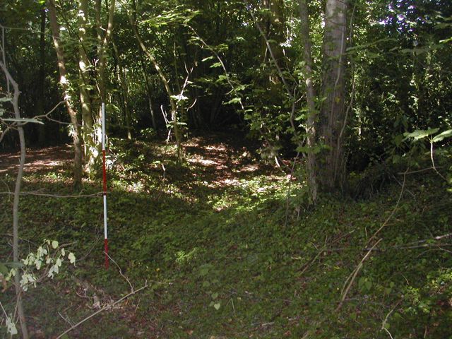
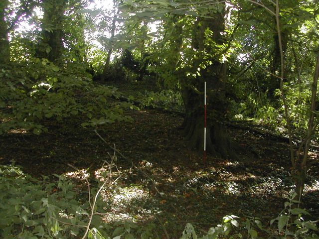
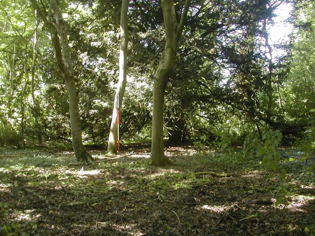
Lower ditch, S portion looking SW Lower ditch western portion looking NE
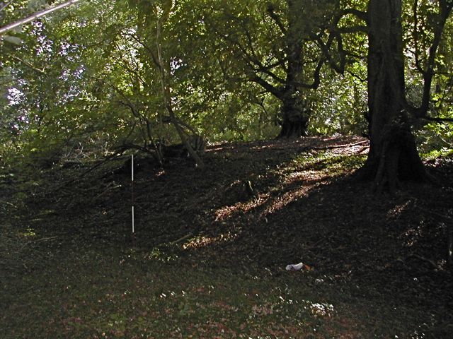
Upper bank SW face looking NE Central plateau looking west towards yew tree