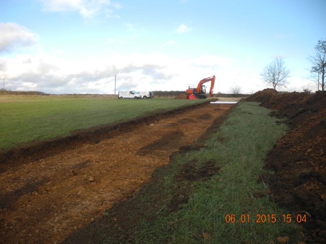
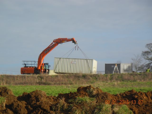
The contractors and their road move in, view looking east
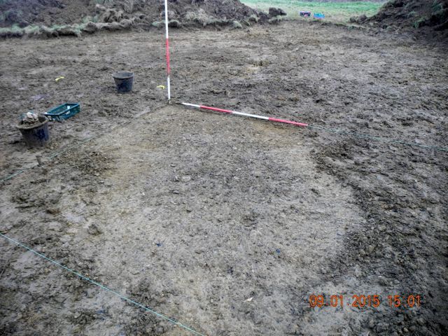
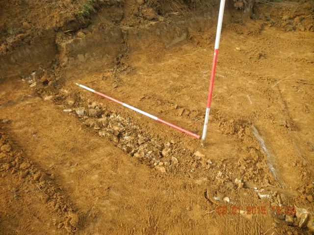
As part of the preparations for future land-scraping the turf and topsoil were scraped off a large area towards the western edge of the site immediately next to the north west corner of the formal garden. Peter checked the area and spoil heaps for residual metalwork and discovered a spur, possibly 17th. century, whilst I zoomed in on assorted spreads of animal bone, pottery, glass and charcoal adjacent to the gardens. After further cleaning this began to resolve into two distinct oval patches which we interpreted as the fill of two pits. Of course there are always several explanations for the presence of pits so the plan would be to fully define their limits then excavate them, probably by half sectioning. Further to the north the ground becomes less and less interesting from an archaeological point of view although Ian, the digger operator did clean off very nicely across the top of a field drain, no ceramic pipe but plenty of rubble filling a narrow trench so it could be early.
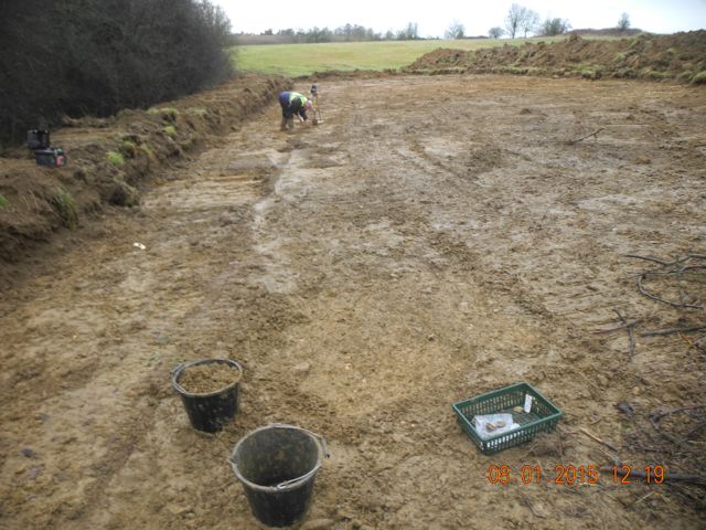
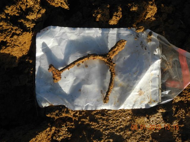
Peter detects and comes up with this.....
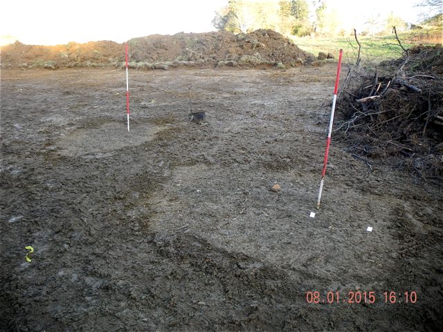
I trowel and come up with these....
Ian scrapes and comes up with this...
Meanwhile the contractors started
to bring in all the comforts of home as a series of tool stores and
site huts were swung into position. We also took the opportunity of
having a spare moment with the big digger to take a sneak preview of
any potential features associated with the terrace that runs
immediately behind the site of the new house. At the point examined the
retaining wall which is evident in other places had been almost
completely robbed out and the whole trench was, once again, pretty
sterile from an archaeological perspective.
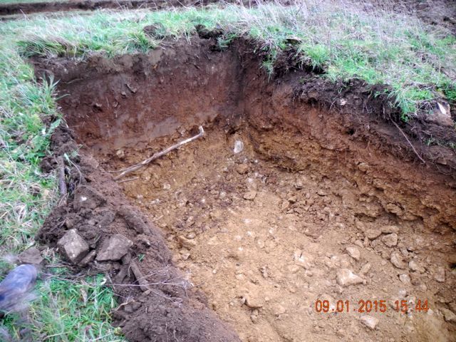
Moving in the easy way. A clean trench just east of the new house site, looking south east
Hanwell has by no means been forgotten although we are avoiding large areas of garden now that the snowdrops are on the verge of blooming. However, in order to facilitate the clearance of a fallen tree from the lake Christopher has taken on the task of at least partially emptying the lake with a splendidly inventive siphon mechanism. This potentially creates opportunities to examine some of the possible features on the lake bottom particularly around the island and indeed round the perimeter of the lake itself. The main question is, of course, without water to float our boat how do we get around?
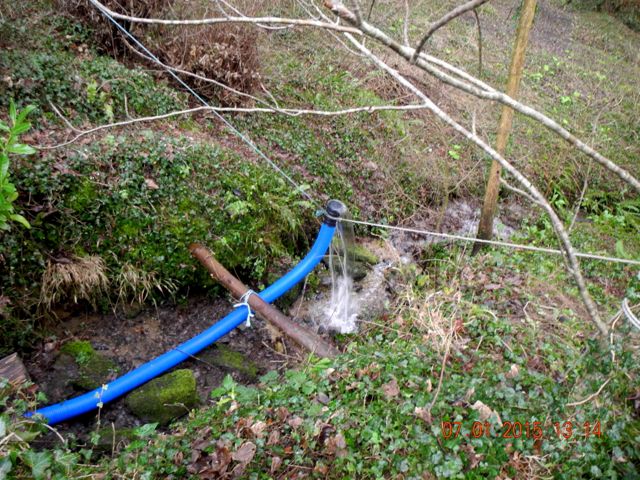
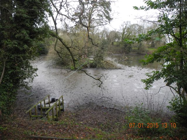
The downstream end of the siphon pipe emptying the lake. The way to the island... just mud!
As the lake
emptied we discussed the best way to make use of the fact for our
investigations. We decided to begin by taking another look at the
surviving
walling already identified along the south side of the lake. We could
take the opportunity to expose more of this walling and better still
cut a section in front of it through the lake silts and hopefully
identify the bottom of the lake and examine its construction. So a
start was made but not a huge amount of progress seen on account of the
demands of being on site at Enstone.
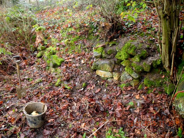
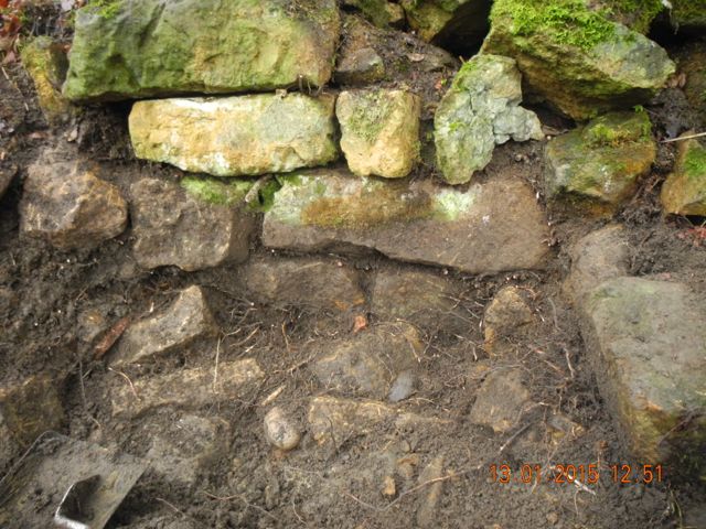
Walling exposed after a little weeding and the same spot after a start has been made and taking out some of the fallen rubble and roots,
At Enstone the
moment arrived when it was time to cut a long trench from just behind
the Crown Inn, along the driveway, round past the bungalow and the west
end of the barn and out into the countryside... The trench was 450mm
wide by 600 mm deep although the width was doubled for the first
section to accommodate an additional phone line. The way it works is
that you spend a lot of time eyes glued to the bucket of the digger
seeing what's coming up and actually listening too - there's a
distinctive graunching sound when digger meets wall or foundations.
Actually its quite difficult to distinguish between the natural brash,
a collapsed dry stone wall and the walling itself. I don't think we cut
through anything but we'll check the sections to make sure. Of course
significant changes in soil colour and texture are also important
markers as are the odd bits of pottery, bone and glass that are thrown
up. What's interesting and again slightly alarming is that we came
across no medieval or earlier material, everything in the way of small
finds was post-medieval. Once something interesting did come up the
routine was to halt the digger and jump into the trench, trowel in hand
to see what it was. We were then able to instruct the digger driver to
cut less deeply so we could then return to dig that portion of the
trench by hand.
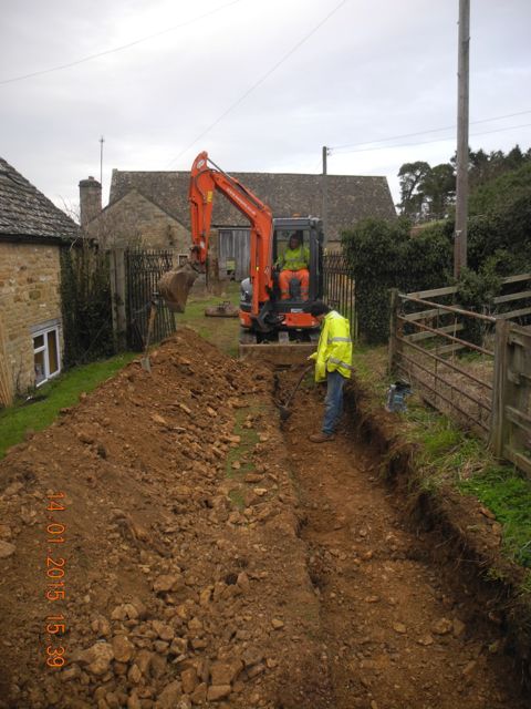
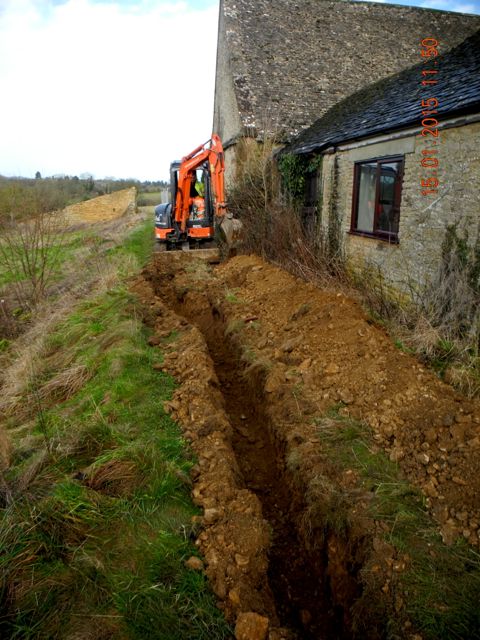
The double width trench just behind Rectory Cottage and the really ticklish section coming past the end of the barn.
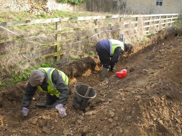
Peter and Mike checking for traces of a potential wall where some anomalous ironstone blocks had been spotted.
The main
features
which were spotted included two large stones, one of them shaped
cushion fashion so possibly a reused coping stone, which were assumed
to be capping for a drain, although their position close to the north
west corner of the barn, seemed odd. However, the most significant
find, without a doubt,
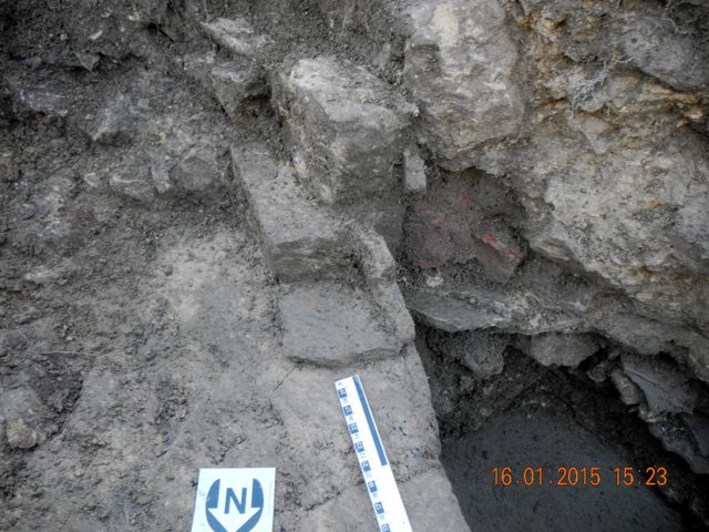
was a small group of stones which seemed to define a right angled
corner. Further cleaning revealed two quite large mortared walls and
the space within the angle was rendered with a cement like mortar. At
first we didn't know what to make of this and some of the contractors
who peered into the trench were a little dismissive suggesting that it
was a modern feature, probably a manhole of some kind. I was not so
sure, the
rendering certainly resembled modern cement but having taken advice it
appeared that there were other earlier formulations that look much the
same.
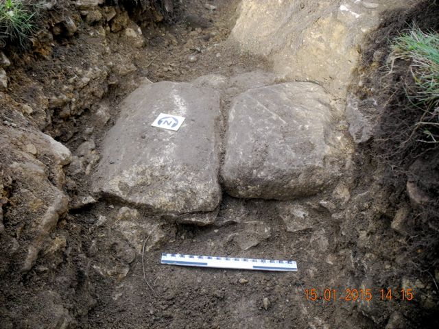
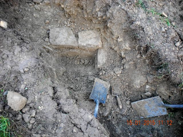
Capping for a drain? First sight of our walling, view looking north.
Speculation was
rife and at one point I wondered if we had hit a corner of the earlier
house and were about to plunge down into a cellar. Further excavation
of the fill did much to make the situation clearer. First of all once
the feature was bottomed out it became obvious that it was fully lined
with render and was therefore a cistern or water tank of some kind.
Although there was no direct dating evidence the fill consisted of the
shattered remains of a large building including dressed stone blocks,
stone roof tiles, lumps of mortar and perhaps most significantly large
fragments of decorative plaster mouldings. This material must have come
from the great house which we know was demolished post-Civil War so the
whole thing seems firmly set in the seventeenth century. Also
interesting was the fact that there was no build up of organic material
or silting in the base of the cistern suggesting that it was functional
right up to the moment when the demolition was carried out and the
debris dumped in to it.
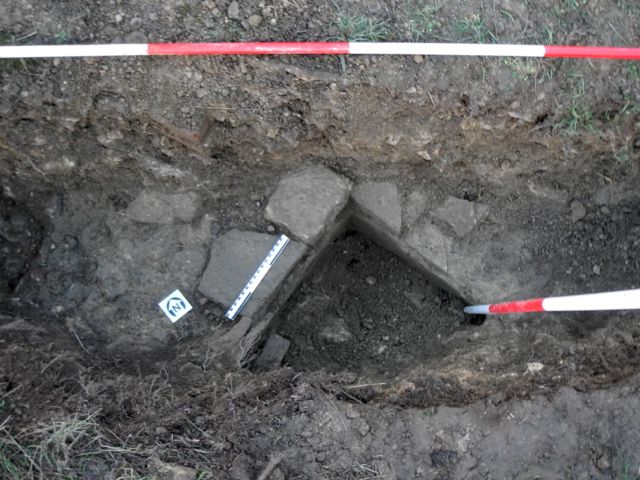
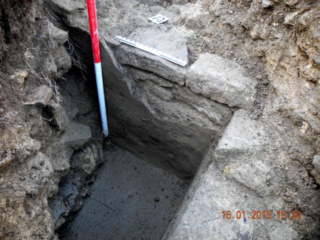
Excavation underway on the cistern. The cistern emptied - at least that portion exposed in the services trench.
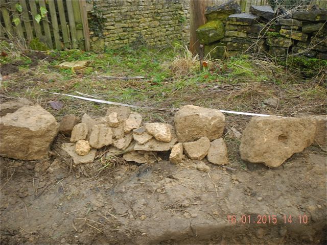
Material from the fill, all evidence of the demolition of a grand house. Curious stone and brick work, could there be more to this structure than a simple water tank?
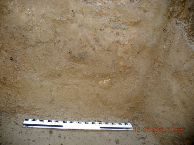
Detail of the finish of the cistern's lining.
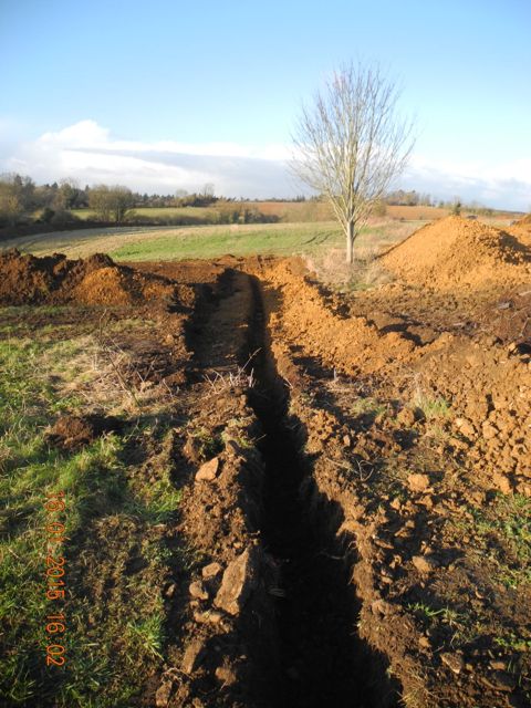
The services trench disappears off into the field with no finds at all.
Meanwhile huge
quantities of turf and topsoil continued to be stripped in the field to
the north in preparation for taking the spoil from the site of the new
house. Our pits turned into patches and so we removed them recovering
glass, pottery and bone, again all of it apparently of the seventeenth
century - nothing older.... nothing newer. Odd.
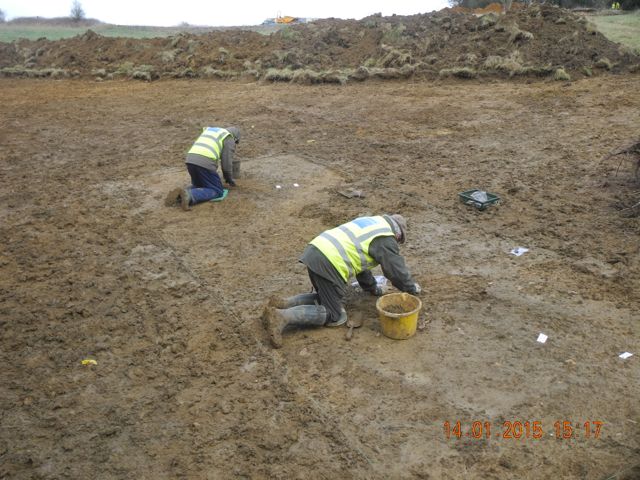
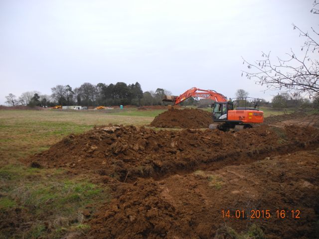
Mike and Robin finish examining our concentrations of finds plus charcoal. The big digger is now approaching the end of the field.
On Tuesday of week 3 we were in a
position to lift the capping stones above the drain to the north west
of the barn - they had to come out in order to drop the levels low
enough for the cable. There was a shallow void below the capping but
the drain was largely silted up. We took samples then excavated down to
a rubbly base - no finds unfortunately so no dating at present. We have
speculated that given its position relative to the barn that it could
be part of a system designed to drain run off water from the huge roof of the barn in which case it may well be medieval. The
contractors had also stripped a shallow depth of turf from the area to
the north of the barn which is to be stoned and used for materials
storage. About 20 metres out from the barn we came across the footings
for a wall, probably that shown on the 1881 O.S. map. Perhaps
significantly it contained some large blocks of ironstone, a feature we
are beginning to identify with the medieval phases of the site. At the
same time a huge chunk of valley side was removed in order to create
the terracing on which the new house is set. This in effect created a
new hill to the north of the formal garden getting on for 8 metres in
height.
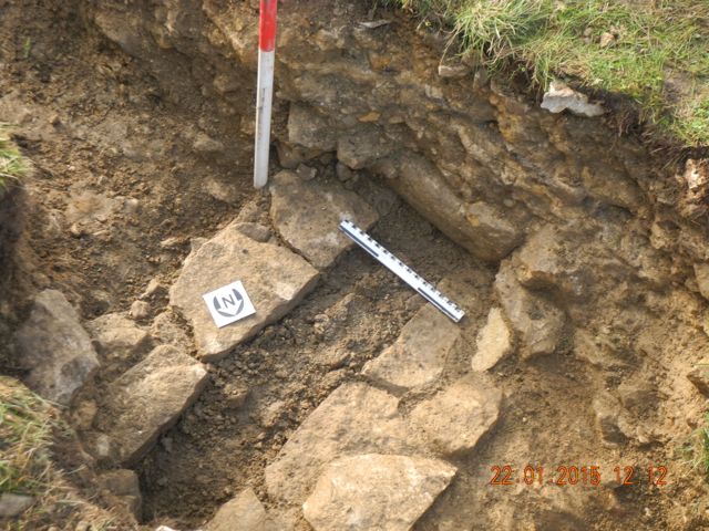
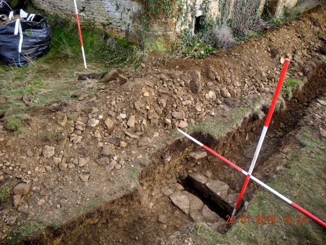
The channel as first uncovered and its relationship with the barn.
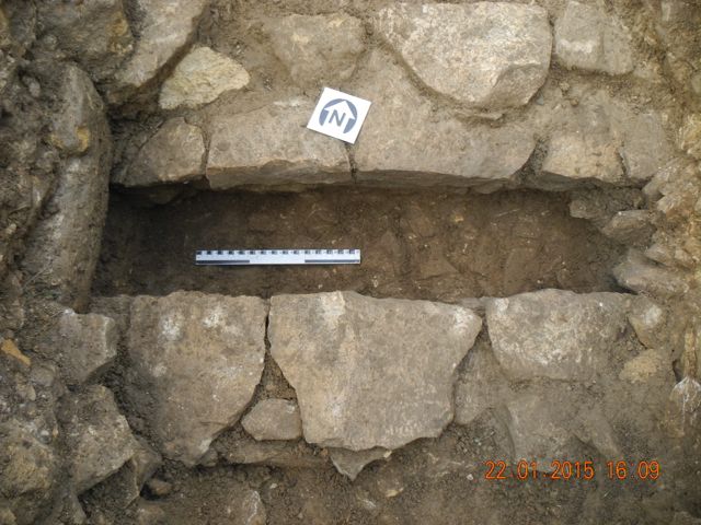
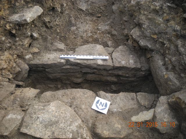
The channel as cleared and the construction of the retaining wall to the south.
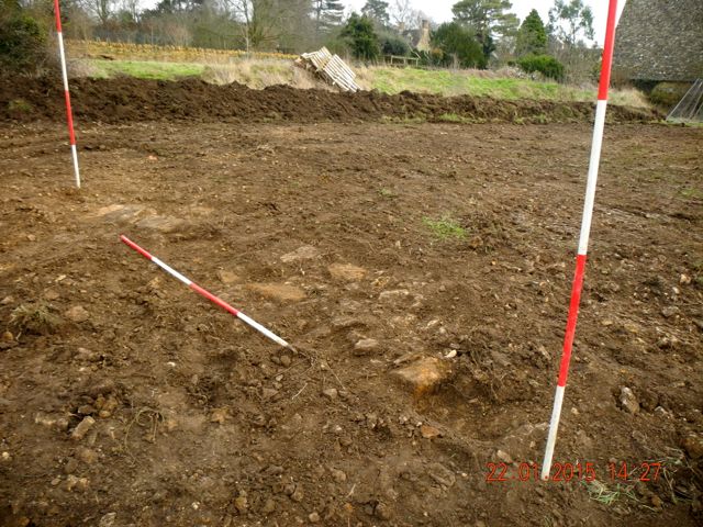
First look at wall footings north of the barn, view looking south east.
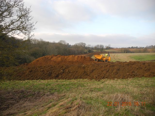
A new vantage point perhaps?
Of course any one out on site in
January is asking for grief and the 23rd. was a particularly
challenging day with temperatures at the start of the day down at minus
7 degrees C. Unfortunately that portion of the trench south of the
bungalow was permanently in the shadow of Rectory Cottage and so never
rose above freezing. Enormous respect to Peter and Robin for
persevering in such chilly conditions. There was plenty of recording to
do and Peter began to plan the cistern whilst Robin cleaned up in
preparation for photography. Earlier in the week Peter had discovered a
second drain and this also had to be planned. Once again in order to accommodate
the power cable the upper portions of stonework had to be removed and
this enabled us to examine what turned out to be quite a well
constructed feature. Compared to our first drain this one is
significantly wider with thinner capstones of the local lias and little
silting above a stone paved bottom. It seems to be running at a
diagonal roughly aligned north east to south west and must emerge
somewhere in the garden of Rectory Cottage. Again no dating as yet for
this feature but it is sealed below a massive build up of charcoal.
Something else we will need to examine when we extend the excavated
area to the south west.
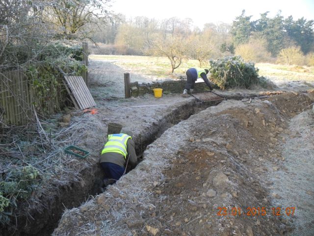
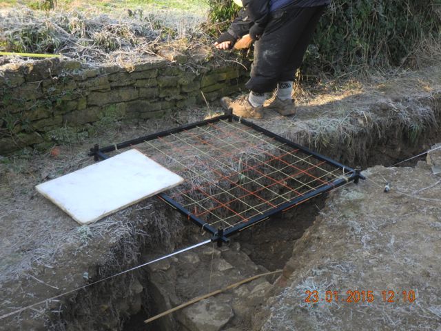
You feel cold just looking at the photos, Peter and Robin in the trenches and a detail of the planning process underway, frame in position.
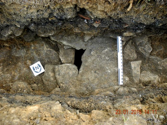
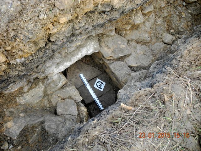
Drain number two or F009 to be precise: with capstone in place and after its removal and the excavation of the silting.
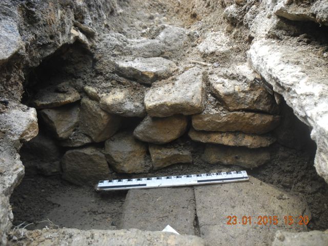
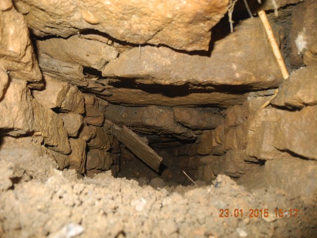
Getting up close. the north west retaining wall seems less well built than its opposite number and here is a view looking down the drain to the south west.
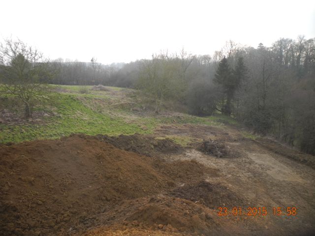
View looking south from the mountain of earth that has been piled up across to the formal gardens and down onto Area E.
Robin practically single-handedly
cleaned up and investigated the wall footings found north of the barn.
A little more careful measuring revealed that this feature did not line
up with the boundary shown on the OS maps, indeed given the
presence of large blocks of ironstone, its overall thickness and the
fact it seemed to be the remnant of something larger I wondered if it
had been a boundary wall
associated with the monastic complex and then largely cleared away by
later landscaping. Then pressed well down amongst the stonework was a
nice piece of what looks like a strap handle from a piece of
'Tudor Green' ware - an early example associated with construction or a
late example connected with demolition? Well further study is clearly
required.
As this area was not scheduled for further earth-moving we closed it
down to concentrate on finishing recording all the notable features in
the long services trench. Once this was complete we gave the go ahead
to sand the bottom of the trench and then the power cable was laid
down.
We had to work to preserve access to the corner of the cistern prior to
marking out and clearing an area to the south to permit its further
investigation.
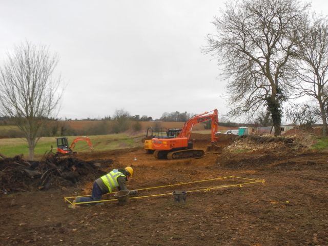
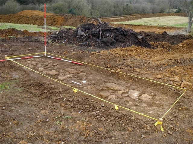
Robin works on as the diggers do their work. The wall footings after their final cleaning, view looking north west - ready to record.
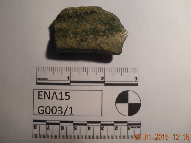
The crucial bit of pottery, a jug handle.
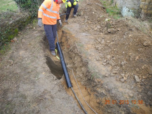
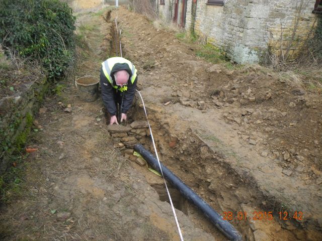
The electrical engineers check our bridging arrangements and Peter builds a dry stone wall to hold back the back-filling.
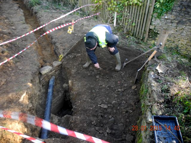
... and we start to clear the new area above the cistern, view looking south.
Another brief excursion to Hanwell
coincided with the removal of the fallen tree from the lake. The
contractors sliced it up, occasionally making use of the inflatable,
and then winched out assorted
trunks and branches. The lake had been partially drained to facilitate
this operation and so I needed to get on with the investigation of the
lakeside wall and 'foreshore'. This was going quite well, lots of black
silty mud shoveled away and an interesting scatter of pottery revealed
when a blizzard hit, that was enough excitement for one day.
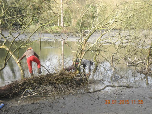
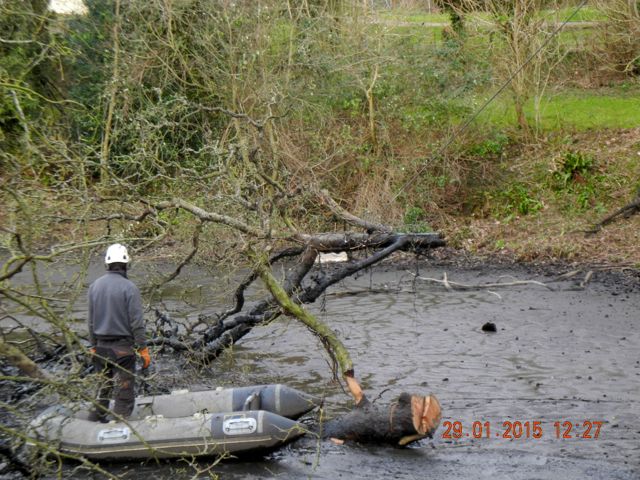
How to remove a fallen tree from a muddy lake - parts I and II.
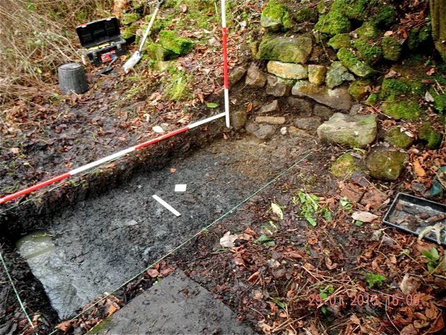
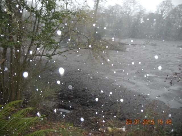
The lakeside trench - already starting to fill with water but with pieces of pottery scattered over the 'foreshore', then it started to snow.